
Government and public sector
Give departments accurate, current spatial records for land administration, planning, and public services.
Different sectors share the same hard problem: turning maps, imagery, and survey data into information people can trust. Here are the sectors we serve and the services behind them.
Give departments accurate, current spatial records for land administration, planning, and public services.
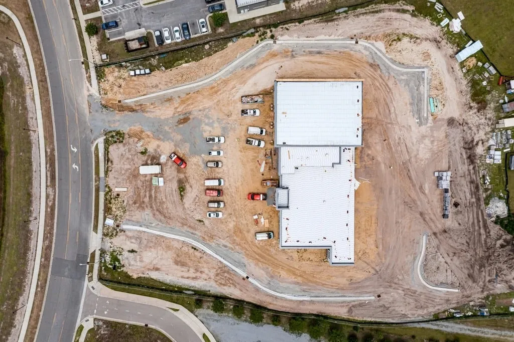
Provide survey data, topographic maps, and Scan to BIM models that design and construction teams can coordinate around.
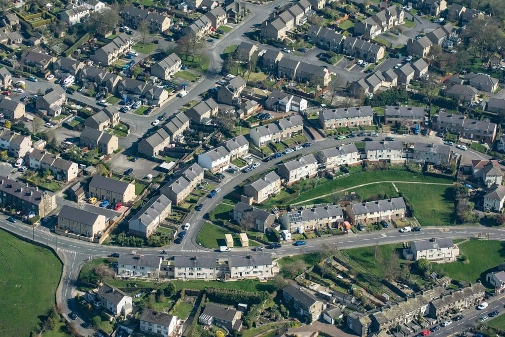
Give field and office teams a shared, measured view of properties before they visit, assess, or bid.
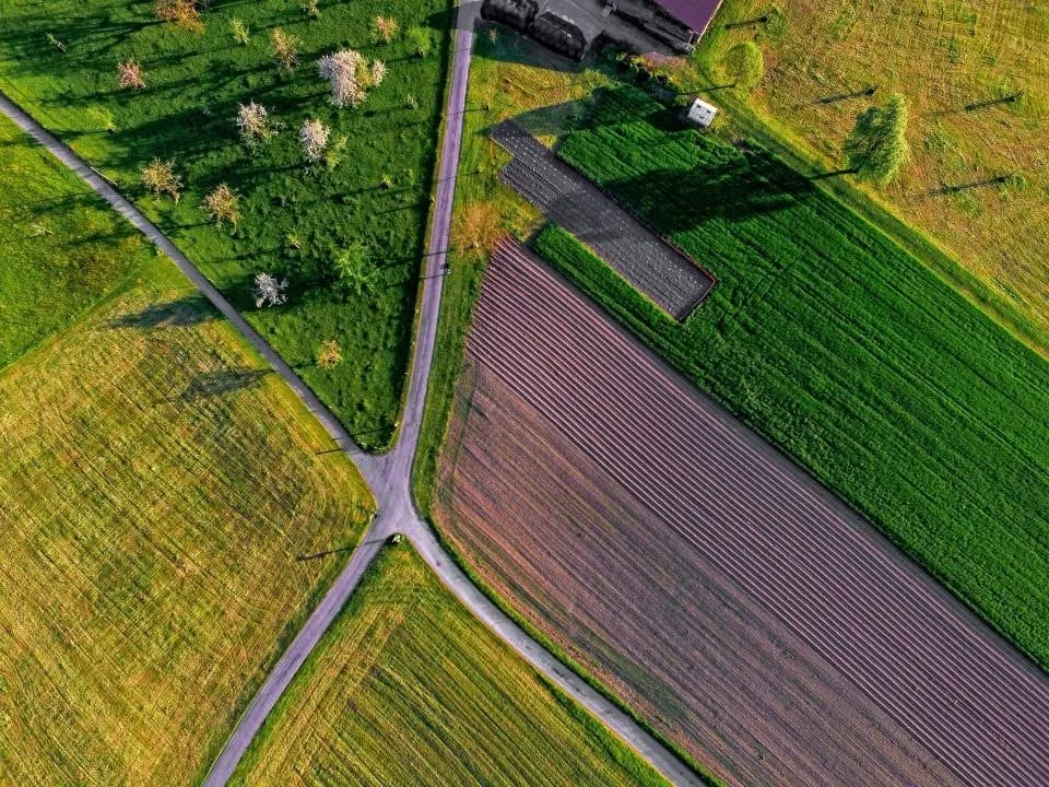
Use aerial and satellite data to monitor land use, water resources, and crop or terrain conditions.

Capture terrain models and site change over time to support planning, safety, and reporting.

Support planning and infrastructure documentation with consistent maps, footprints, and 3D context.
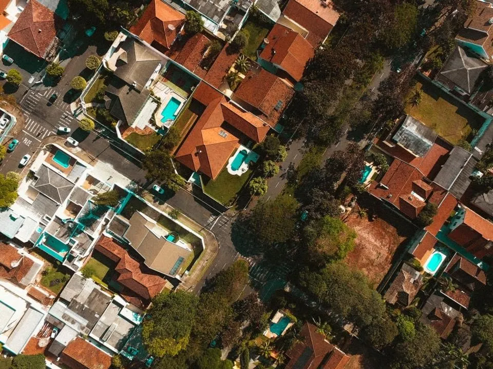
Help authorities capture and maintain property data so assessment and citizen services work from the same records.

Use spatial data to plan coverage, locate assets, and keep network records tied to real places.

Map roads, rivers, and terrain to support design, construction monitoring, and environmental oversight.
Digitizing, feature extraction, topology correction, and GIS-ready datasets prepared for planning and asset records.
Aerial imagery capture for orthomosaics, elevation models, 3D meshes, and topographic mapping.
Point clouds and image-based 3D outputs for terrain, corridors, buildings, and site documentation.
As-built 3D models derived from scan and point-cloud data to support renovation, coordination, and quantity planning.
Dashboards, viewers, and property-focused platforms that make spatial data searchable and usable by non-GIS teams.
Computer vision, automated classification, and analytics that turn raw imagery into measurable, reviewable insight.
Structured, location-backed replicas of sites and assets for monitoring, comparison, and planning.
Don’t see your sector listed? Spatial data problems are similar across fields, so talk to us.